Tropical Central / Cyclone Warning Center

We are working on this site and will be back online soon.... Jason Scott

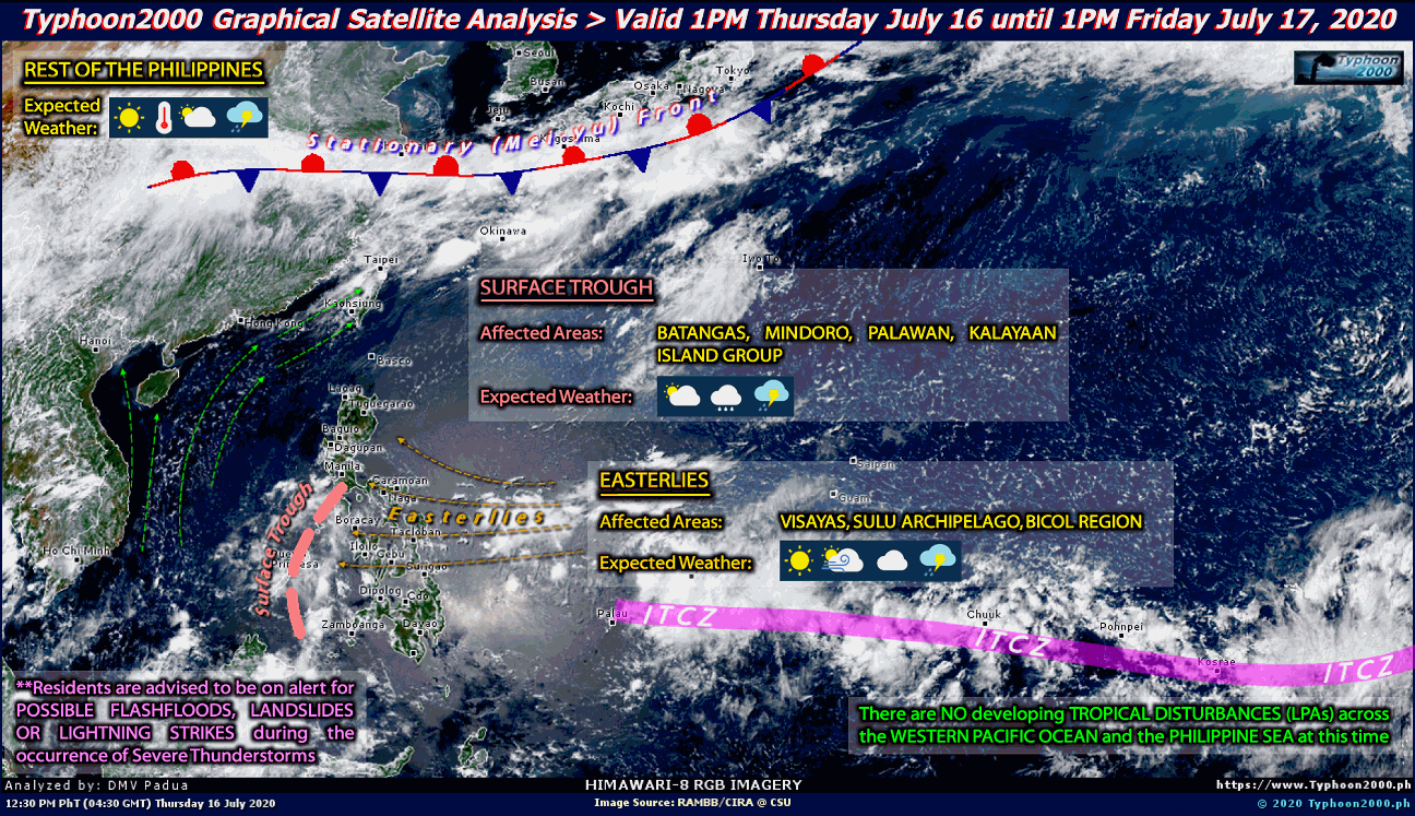
Current Graphical Satellite Analysis From Typhoon2000.com:

Interactive Typhoon Discussion (JTWC) 

Current Information From The Joint Typhoon Warning Center:


Latest Tropical Weather Outlook:

Current North Atlantic Graphical Analysis:

Interactive North Atlantic Hurricane Discussion 

Latest Tropical Weather Outlook:


Latest Tropical Weather Discussion:


Current Eastern Pacific Graphical Analysis:

Interactive Eastern Pacific Hurricane Discussion 


             Breaking News From Our Partner @ NASA'S Hurricane Web Page

                                                    Cyclone Warning Center Blog 

94-E in the southeast Pacific looks likely to develop in to a tropical storm

June 13, 2012

The only area of concern today continues to be invest area 94-E located in the southeast Pacific, just off the coast of Central America. As you can see in the satellite picture (courtesy of the University of Wisconsin’s CIMSS site), the low pressure area is gradually becoming better organized. The red “I” indicates the initial position of the center of the low. There is some banding of the cloud cover and deep tropical convection is maintaining itself. A majority of the reliable computer models indicate that 94-E will move WNW to NW and approach the southeast coast of Mexico in a few days. As far as intensity goes, the SHIPS model indicates category one hurricane strength, assuming that the center does not interact with land. Other intensity models are more conservative, keeping the system a moderate tropical storm at its peak.


The main impact looks to be heavy rain fall for portions of Central America and eventually southeast Mexico. The disturbance is slow moving, so it has time to dump a lot of rain along its path. Interests in the region should be aware of this hazard.

In the Atlantic Basin, things are nice and quiet. It is possible that we may see a window of opportunity for tropical cyclone formation in about a week but the only evidence of that right now is the fact that the MJO phase would be more favorable. This alone does not lead to development- there are plenty of other factors that ultimately drive the genesis of tropical storms and hurricanes. We’ll see what happens as we move towards the latter half of the month. So far, I do not see any consistency in the long range model guidance to suggest development in any location. I’ll post more about 94-E tomorrow morning.


Taiwan Flooding Leaves 5 Dead

June 12, 2012

Torrential rains are wracking parts of Taiwan, with landslides and flooding leaving at least five dead. 

Flooding has devastated bridges and roads throughout the country. 300 were left stranded in a local village when this river burst its banks, washing the bridge away. 

Rescuers found this pregnant woman and her child stranded in deep water under a bridge as the rains continued. 

Local residents in New Taipei City were seen trying to sweep flood water away from their homes overnight. 

Agricultur...
Continue reading...
 

GOM Development Possible Late Next Week – Ghost of Allison?

June 12, 2012
The developing pattern continues to look favorable for tropical development in the Gulf of Mexico later next week as the MJO moves into phase 1, lending upward motion support to the western Atlantic, which is usually necessary for getting a June development. The ridging pattern over the Great Lakes also supports piling up of air to the south of the United States, which leads to upward motion and lowering of pressures in the Gulf of Mexico, and this is being echoed by all of the models. What t...
Continue reading...
 

Tropical Development Is Very Possible In The Northwest Caribbean Or Southern Gulf Of Mexico Within The Next 7 to 9 Days

June 12, 2012
Canadian Model Forecast For Thursday, June 21,st:


The overall weather pattern for the rest of this week into this weekend consists of a frontal system passage across the Florida Peninsula on Thursday into Friday, across the Florida Straits on Saturday and into the northwestern Caribbean late this weekend into early next week. At the same time, an area of low pressure is forecast to develop about halfway between the US Southeast coast and Bermuda from Friday into this weekend. This particula...

Continue reading...
 

Damaging rains bust the drought in portions of Florida Panhandle

June 11, 2012
Flood waters are receding in the rain-drenched Florida Panhandle and coastal Alabama today, where prodigious rains from a moist, tropical airmass interacting with a stalled front brought flooding that caused at least $20 million in damage to thePensacola, Florida area. The most remarkable rains fell in West Pensacola, where 21.70" was recorded over the weekend. Pensacola airport received 13.13 inches of rain on Saturday, the city's second-highest 1-day rainfall total in recorded history. The ...
Continue reading...
 

Breaking: Western Pacific Tropical Depression 5 from the JTWC

June 11, 2012
0632Z MTSAT-RGB Imagery of '05W/UNNAMED,' now heading Westwards slowly, forecast to intensify as a Tropical Storm within the next 12-24 hrs. Imagery Courtesy: NOAA.....  JASON S


Continue reading...
 

Eyes on the Tropics: 93-E and Possible Gulf Disturbance 06/10/2012 Michael Ferraro

June 10, 2012

Hello everyone! This will be my first posting on here so I want to share a little bit about myself and what I hope to contribute on Cyclone center! My name is Michael and I have always been fascinated by weather from when I was younger as I experienced a Tornado in New York. I did a great deal of reading on past major severe events and also began to want to know why and how it all works. I made connections with local MET Television folks and started to work on forecasts for heavy snowfall ev...


Continue reading...
 

Torrential rain causes widespread flooding in Florida panhandle

June 10, 2012
Published: 9:25 PM CDT on June 09, 2012
Torrential rainfall led to widespread flooding along the northern Gulf Coast on Saturday, and Pensacola came about 2 inches shy of matching its all-time rainfall record for a calendar day: 15.29 inches. On Saturday, Pensacola airport received 13.13 inches of rain. The previous record was set on October 5, 1934, as Tropical Storm 9 of that year was making landfall. The record for any 24 hour period is 17.1 inches, spanning Octover 4-5 in 1934, according t...

Continue reading...
 

Rains batter parts of Alabama and Florida in the Gulf Coast storm

June 10, 2012
A storm moving across the U.S. Gulf Coast battered parts of Alabama and Florida with up to 18 inches of rain on Saturday with authorities in Pensacola, Florida, declaring a state of emergency and sending out boats to rescue residents of flooded homes.

The heavy rains in the region began on Friday night. The storm is due to winds picking up tropical moisture and streaming it from New Orleans in the Gulf Coast to Jacksonville on Florida's eastern coast.

Mobile, Alabama, saw 15 inches of rain that...


Continue reading...
 

Downtown Pensacola Flooding 9 June 2012

June 10, 2012


  On June 9th 2012 several storms rolled in from the southwest over the Gulf of Mexico. The heavy rainfall caused flooding throughout the Pensacola region. This video was filmed about 3 hours after the end of the heaviest rainfall from my kayak immediately north of Fairfield Drive between NL and NM streets. 


Continue reading...
 

Make a Free Website with Yola.