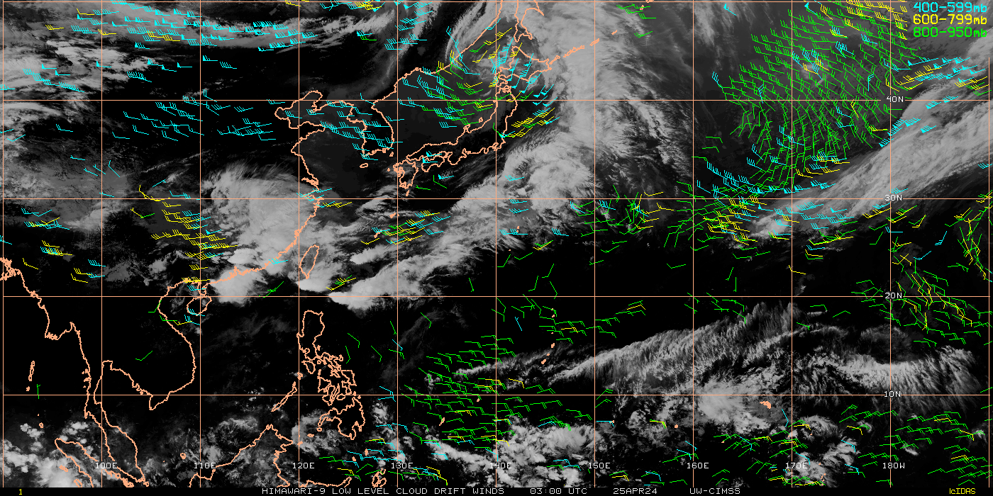
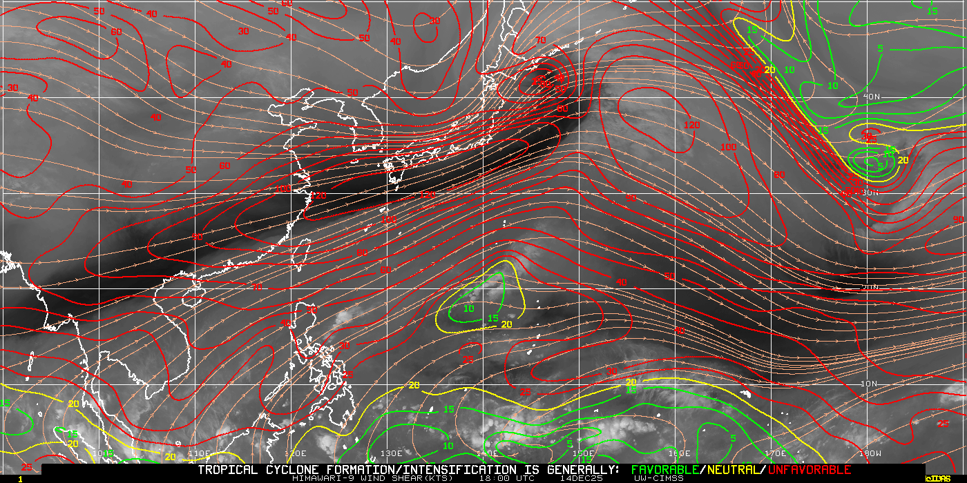
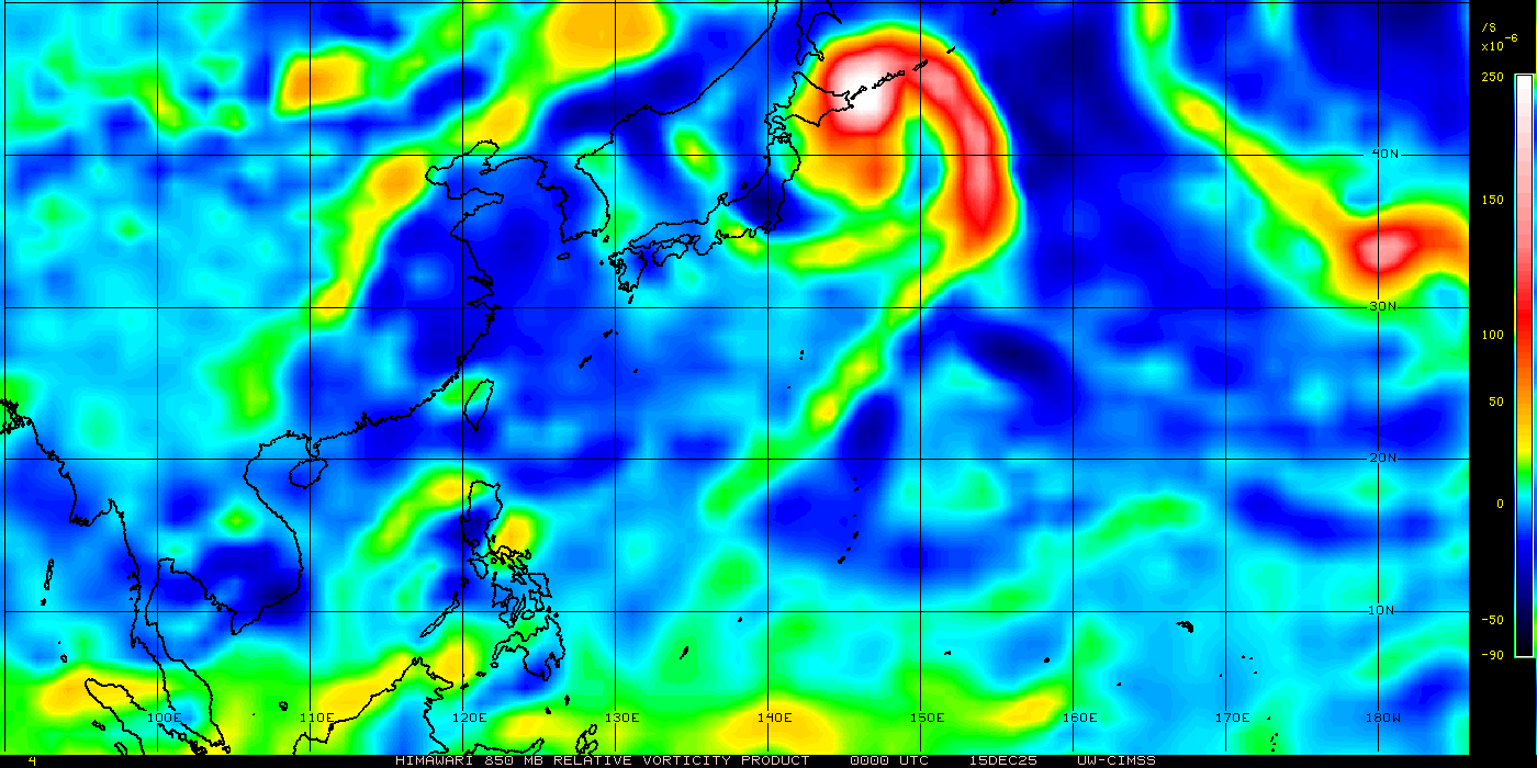
Click a sector for real-time satellite imagery |
Western Pacific
Current Analysis Western Pacific Quick View West Pacific Typhoon Satellite Sectors
Click a sector for real-time satellite imagery JTWC Pacific Typhoon Activity
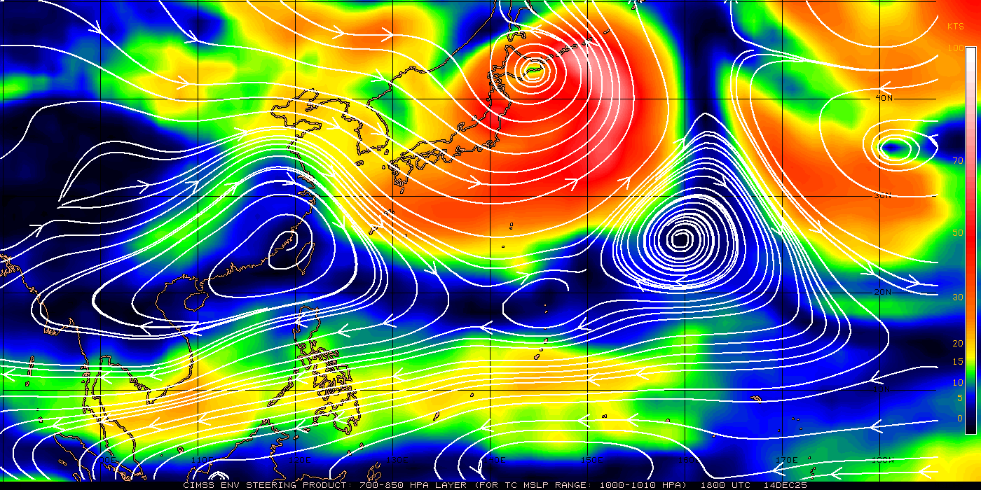
Stream Line Analysis700 – 850MB STEERING FLOW
500 – 850 MB STEERING FLOW
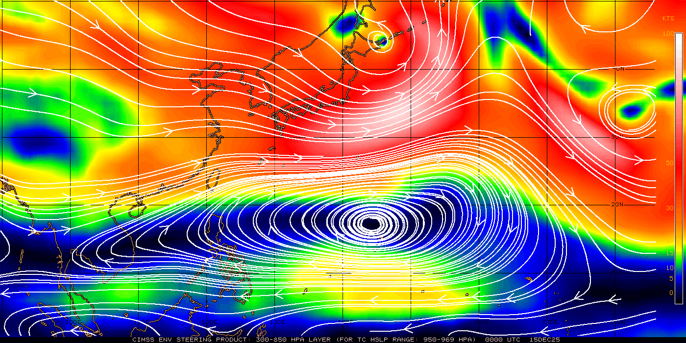
300 -850 MB STEERING FLOW
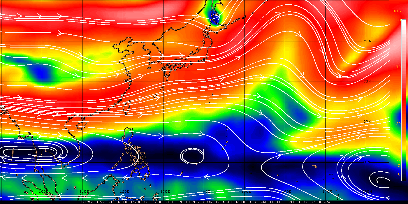
200 – 700 MB STEERING FLOW
Tropical Charts Dale Link has been issuing his personal predictions of typhoon landfalls for the coastline of Japan, North and South Korea, China (including Taiwan and Hainan), and Vietnam for the past four years. (Forecast links for 2008, 2009, 2010, 2011 and 2012 are at the bottom of this page - Click Here) A summary of his prediction accuracy is set forth below: For the coastline from Nemuro, Japan to Nam Can, Vietnam (5,500 Mile Range) over a four year period between 2008 and 2011, 18 typhoons made landfall with Category 1 strength or greater (4.5 typhoons/yr). In those four years, Link forecasted 18 typhoon landfall zones (with a 320 mile range). Thirteen of those zones had typhoon landfalls (72% correct forecasting). Three zones had tropical storm/depression landfalls (17%) and two zones had zero landfalls (11%). Also during this four year period, all 18 typhoons that made landfall on this coastline with Category 1 strength or greater landed inside Link's predicted landfall zones (100%). |
OFFICIAL TYPHOON INFO TYPHOON MONITORING |